- Connecticut Shelters (https://whiteblaze.net/forum/vbg/browseimages.php?c=569)
- - Stewart Hollow Brook Lean-to in CT: Sign (https://whiteblaze.net/forum/vbg/showimage.php?i=13740&c=569)
Stewart Hollow Brook Lean-to in CT: Sign
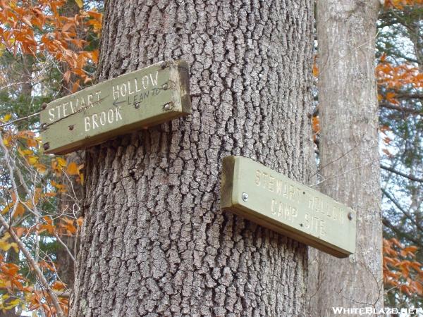 Stewart Hollow Brook Lean-to
County/State: Litchfield CT, Elevation: 425', Capacity: 6
1459.1 miles from Springer and 715.5 miles to Katahdin
next shelter south,Mt. Algo Lean-to, 7.3 miles. next shelter north, Pine Swamp Brook Lean-to, 10.0 miles.
Maintained by: AMC - Connecticut Chapter
Perfect water source nearby (Housatonic River), composting privy, many excellent tent sites.
All times are GMT -4. The time now is 04:50.
Powered by WhiteBlaze Gallery v3.01
Powered by Appalachian Trail Enthusiasts
Powered by WhiteBlaze Gallery v3.01
Powered by Appalachian Trail Enthusiasts