- Connecticut Shelters (https://whiteblaze.net/forum/vbg/browseimages.php?c=569)
- - CT: Ten Mile River Lean-to, Surroundings (https://whiteblaze.net/forum/vbg/showimage.php?i=16364&c=569)
CT: Ten Mile River Lean-to, Surroundings
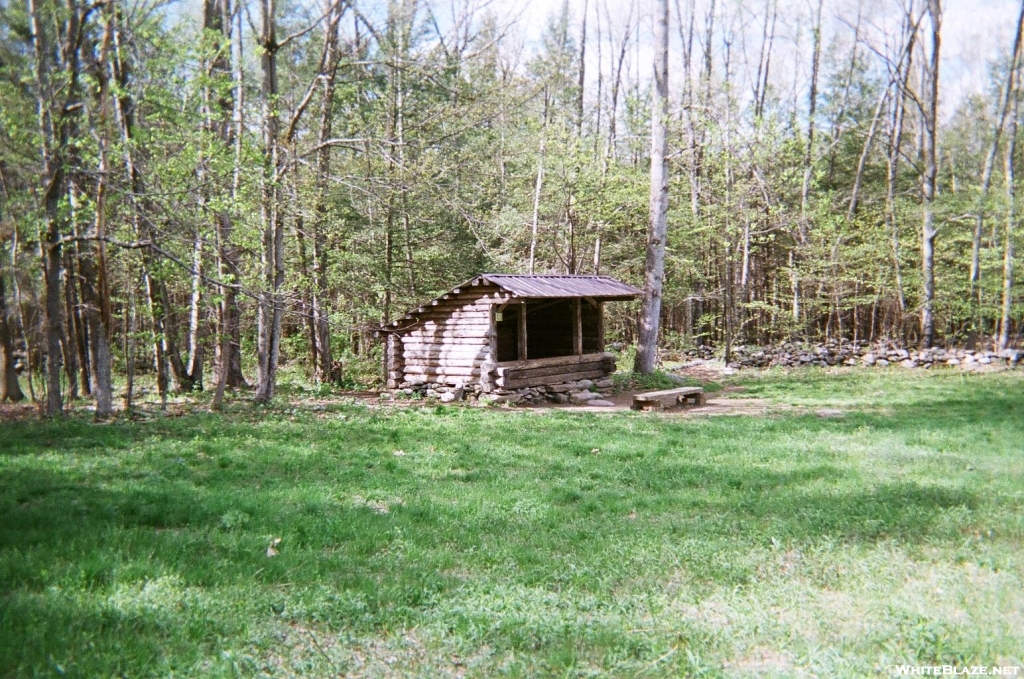 This lean-to was built in 1996 and is located near the confluence of the Housatouic and Ten Mile Rivers.
Mileage from Katahdin: 730.1
Mileage from Springer: 1437.0
County-State: Fairfield, CT
Hiking Miles to Next Shelter:
4.0 miles South, Wiley Shelter
8.4 miles North, Mt. Algo Lean-to
Elevation: 290 ft.
Mileage from Katahdin: 730.1
Mileage from Springer: 1437.0
County-State: Fairfield, CT
Hiking Miles to Next Shelter:
4.0 miles South, Wiley Shelter
8.4 miles North, Mt. Algo Lean-to
Elevation: 290 ft.
All times are GMT -4. The time now is 06:13.
Powered by WhiteBlaze Gallery v3.01
Powered by Appalachian Trail Enthusiasts
Powered by WhiteBlaze Gallery v3.01
Powered by Appalachian Trail Enthusiasts