The shelters on the BMT are excellent- one where you really need it since you're in someone's backyard (but how about a privy too?).
And I really enjoyed staying at the Fontana Hilton, which was a bit off, but great for re-supply, a trip down memory lane, and a chance to actually talk to people after all the solitude. (And seeing the fence at the last shelter sure brought up more memories.)
If the BMT would "advertise" or better yet, make official, Tipi Walker's blue blaze route, and another one past Clingman's to avoid the fords on Noland, then all the trail would need to be excellent is a sign at the Northern terminus and some rule changes about reservation in the park. At the very least, make it more obvious to hikers that attempting a ford may kill them (the park map mentions Nolands' as dangerous, but this isn't all that obvious to many hikers).
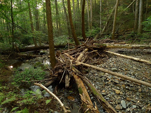
I believe the difference in attitude about the fords is based on the conditions in which they were encountered. It wasn't that bad of a storm system when I went through, maybe 12 inches in 4 days at the most and probably only 10. The river was not out of it's banks and bridges were neither flooded nor washed away, but the fords were extremely dangerous, and probably impassable a couple of days before I passed through. This means that encountering such conditions is common, probably occurs at least once year, and so it should be addressed (as opposed to someone hiking through Vermont this year complaining about the historic flooding).
As far as needing map skills, yes, you needed them, but my problem was frequently being on the wrong trail. That's very different different from other trips, like the Big Blue, Sheltowee, or even the AT (in snow), where actually finding the trail itself was the issue and map skills made the difference between hiking and having to turn around and bail or worse.
My philosophy on wilderness is that when I want a wilderness experience I don't follow a trail and I plan accordingly. When I hike a marked trail, I expect the trail to be present (I'm not referring to the BMT here), and that I will be able to follow it unless there are true extremes of weather. Four to six inches of rain in a couple of days (maybe what I had around Noland) doesn't count as extreme weather to me. This is why the 3 very-dangerous fords bother me so much.
Maybe now that the northern terminus is at the Big Creek Bridge, we can look into getting a permanent marker made for that spot. Something like the one on Springer for the northern terminus.
SGT Rock
http://hikinghq.net
My 2008 Trail Journal of the BMT/AT
BMT Thru-Hikers' Guide
-----------------------------------------
NO SNIVELING
You remind me of another little wrinkle in the program. When BMT backpackers are going north from Farr Gap and down the Stiffknee trail, they have to cross Little Slickrock Creek a total of five times. About two months ago I pulled a trip down there and saw severe flood damage on little old Baby Slickrock and it was sobering. Forget about the Big Slickrock crossing, there's no way anyone would've even crossed it's baby brother---
Here's a fotog taken on the BMT along the Stiffknee trail near one of the five crossings. Little Slickrock Creek shows signs of Very High Water. Sgt Rock remembers this trail as we hiked it once last year while he and his son trailworked it.
Skids
Insanity: Asking about inseams over and over again and expecting different results.
Albert Einstein, (attributed)
That too!
IIRC, there were only three. One .2 from the start (and on the AT), one really grotty one in the Smokies and a small one below a house!!
Don't hike out West. You'll be sorely disappointed.
Even 'marked' trails often vanish. And I'm not talking about just the CDT either (or any of the long trails for that matter)!
As for dangerous fords, that's all relative to experience, too. What would be considered dangerous to some would be considered a challenge to others. YMMV.
Nope, keep the BMT a little more wild. No need for 'official' blue blazes or that other AT nonsense. I love my time on the AT; I don't necessarily want or need to experience that type of hiking on other trails.
Last edited by Mags; 11-08-2011 at 22:28.
Paul "Mags" Magnanti
http://pmags.com
Twitter: @pmagsco
Facebook: pmagsblog
The true harvest of my life is intangible...a little stardust caught,a portion of the rainbow I have clutched -Thoreau
Hmmmm.....somewhere down the road in a future time, I can see the BMT sharing the AT further north until Roan Mtn and then hooking back around and heading southeast through the Pisgah National Forest lands and eventually approaching Mt. Mitchell from the north side and ending where Benton originally intended for the trail to end. Now that is a terminus.
Then those heading southbound on the AT could start at Mt. Washington and upon hitting the Roan highlands, jump on the BMT and follow it to Mt. Mitchell. A shorter version as envisioned by Mr. MacKaye...a gift of the BMT and in true spirit of preserving the original route of it's namesake. And those especially wanting to "thru" the BMT northbound from Springer will make their figure 8, continue north a bit and then make their "S" turn south to Mt. Mitchell. And all land for the new extension is protected National Forest.
...ah, just an idea for later on.
SGT Rock
http://hikinghq.net
My 2008 Trail Journal of the BMT/AT
BMT Thru-Hikers' Guide
-----------------------------------------
NO SNIVELING
Okay, I'll bite, I am a noobie.......uh what is the NEPA process?
Plus, it sounds like part of the route is already blazed. The Black Mountain Crest Trail/ Deep Gap Trail almost connects Mt. Mitchel going north to almost Burnsville. From Burnsville....maybe 60 miles more to Roan Highlands??
part of the planning process to determine that the environment is protected - ie no rare plants threatened etc. - see http://www.epa.gov/compliance/basics/nepa.html
What HOI said. It can take years to get through the NEPA process and sometimes the club has to pay for all the stuff. Probably why less trails get built these days.
SGT Rock
http://hikinghq.net
My 2008 Trail Journal of the BMT/AT
BMT Thru-Hikers' Guide
-----------------------------------------
NO SNIVELING